WEF Proposes New Hurricane "Category 6"
Lightning from Storm Eye, Gas Stations "Without" Gas but the Hoses Work
Thousands remain stranded this morning in Florida as Hurricane Milton is scheduled to shore and inland in about 48 hours.
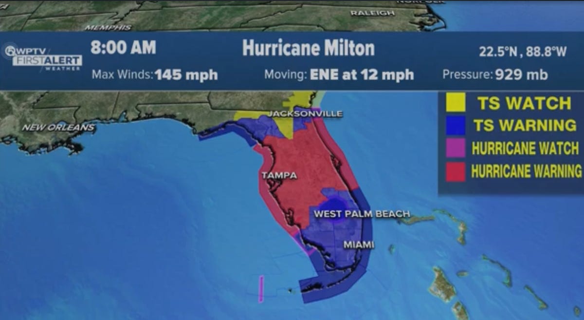
Here's an update from 0800 this morning:
Evacuation orders have led to multiple highway gridlock with numerous gas stations that run out of fuel. Some empty stations had yellow bags over the gas hose, yet people were able to get gas.
“They're trying to trick us.”
Source: https://x.com/matttttt187/status/1843480649732354110?s=46
Lightning was seen yesterday, from the eye of the storm:
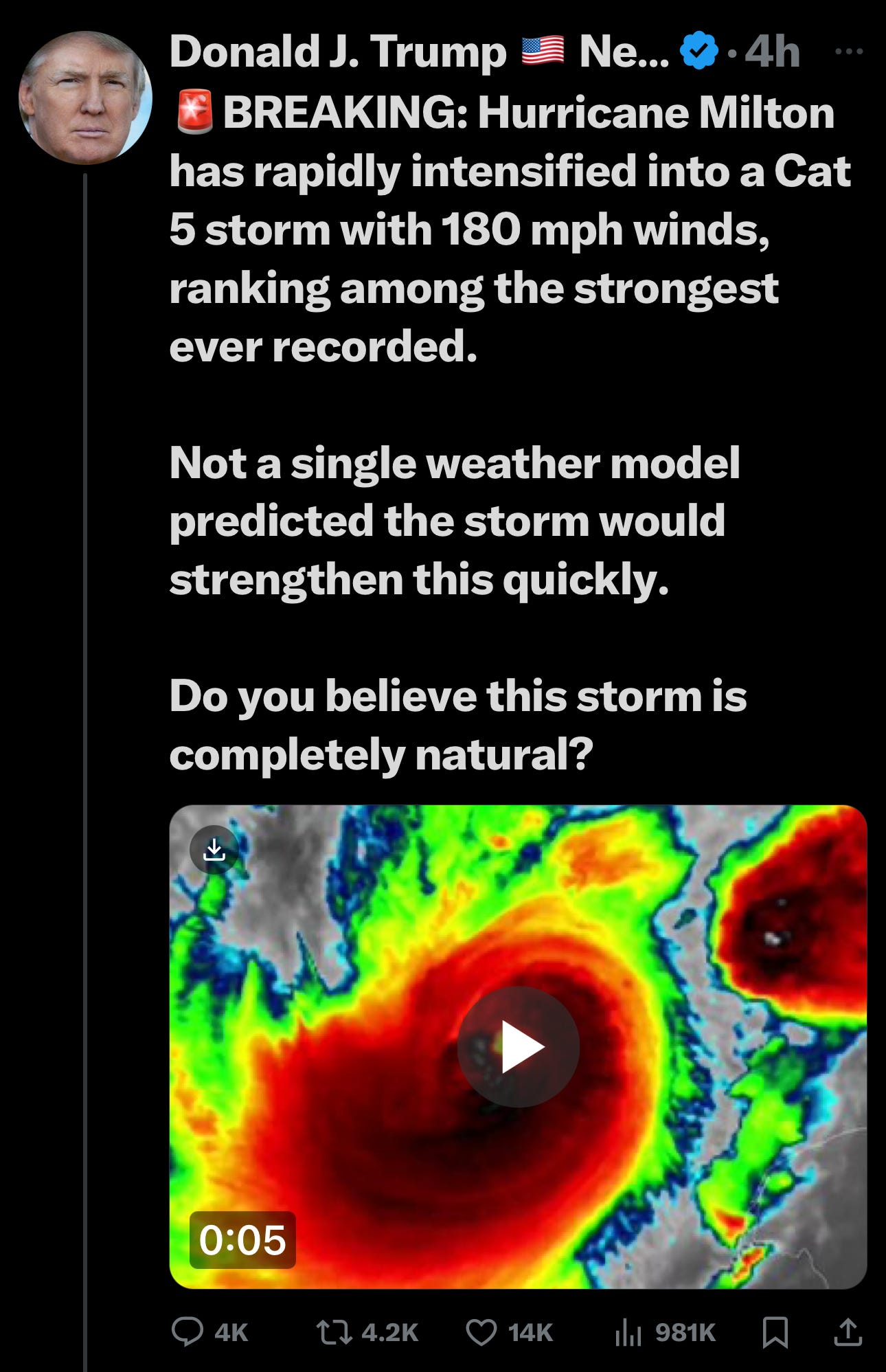
No one has ever seen such a rapid escalation of a hurricane.
⚠️URGENT UPDATE: Hurricane Milton is now among one of the strongest hurricanes ever recorded. Maximum sustained winds are an estimated 180 mph (285 km/h), with gusts approaching over 200 mph.
Hurricane Milton is headed for a direct impact on Tampa, with storm surges expected up to 18 feet of water - up to 1 mile inland, according to geography.
The Hurricane looks absolutely catastrophic, and this is NOT “normal” weather. Many believe that this storm has been and is actively being fed enormous amounts of energy. Such bursts cause rapid storm acceleration, larger storm size and higher wind velocity.
Source: https://t.me/trumpetnews1
Gridlocked Highways
Hurricane “Category 6” Proposed - by the WEF
Liz Ritchie-Tyo
Professor of Atmospheric Sciences, Monash University
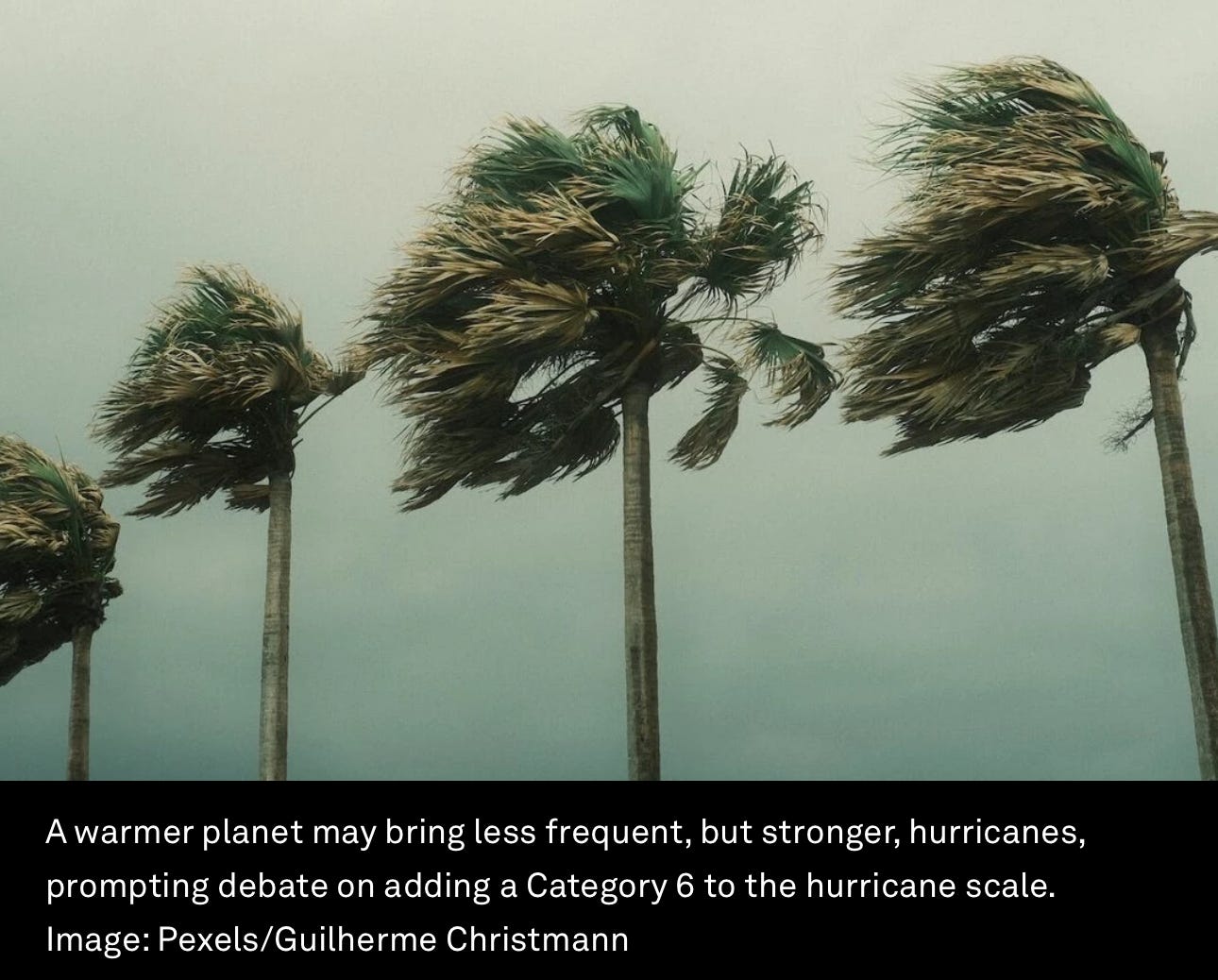
Hurricanes may become less frequent but more intense, prompting debate on the need to add a Category 6 to the Saffir-Simpson scale.
The scale categorizes storms based on wind speed, with Category 5 signifying 'catastrophic damage'.
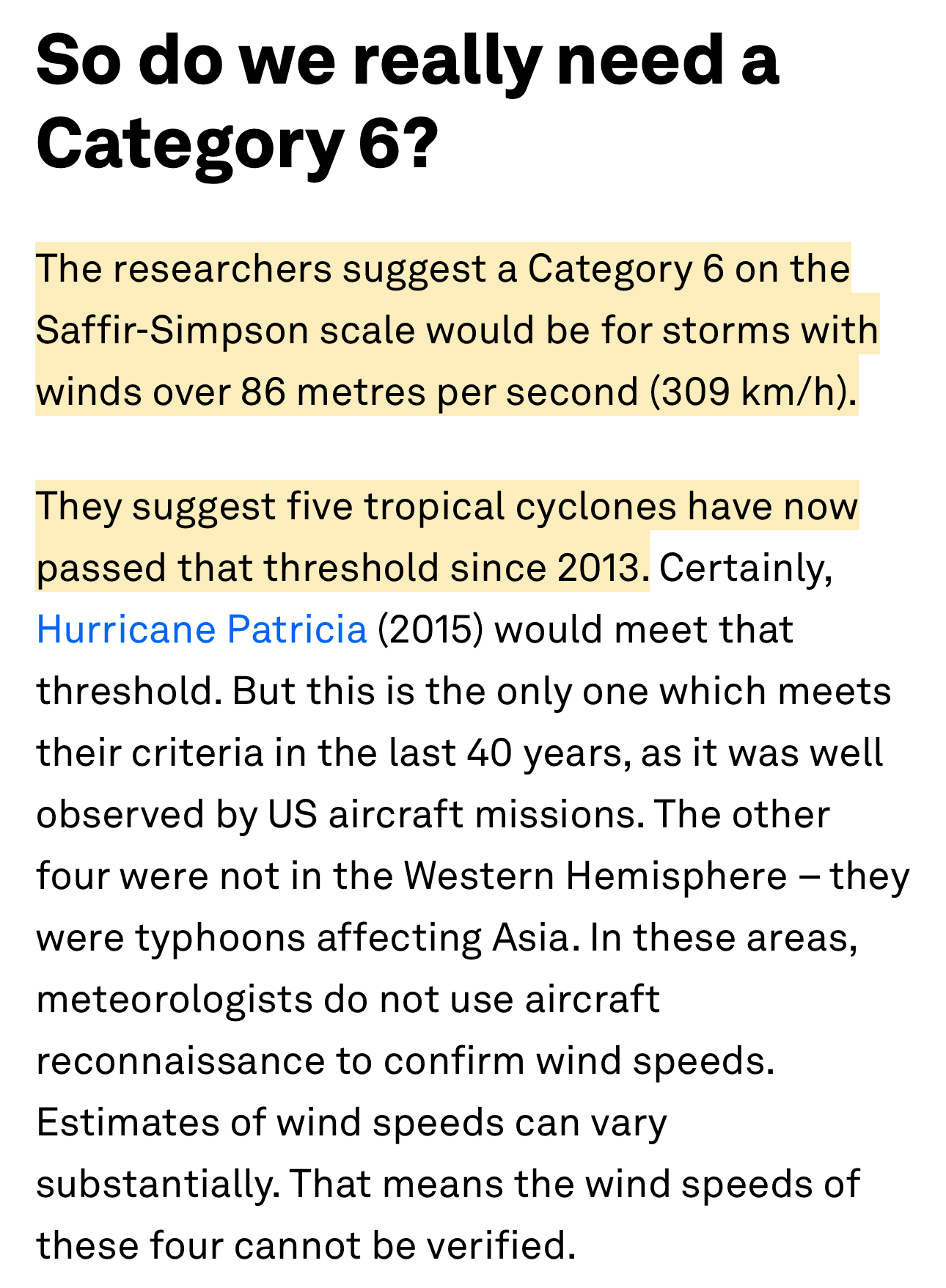
Researchers are proposing a Category 6 for winds exceeding 309 km/h, citing 5 storms in this rage since 2013.
When a tropical cyclone forms, people who live in its path anxiously monitor news of its direction – and strength. If a Category 5 storm with wind speeds of 250 kilometres per hour is heading for you, you prepare differently than you would for a Category 1 with wind speeds of 65 km/h.
In a hotter world, cyclones are expected to become less common but more intense when they do form. That, according to new research, means it might be time to consider introducing a Category 6 to the hurricane scale used in the United States to better communicate the threat.
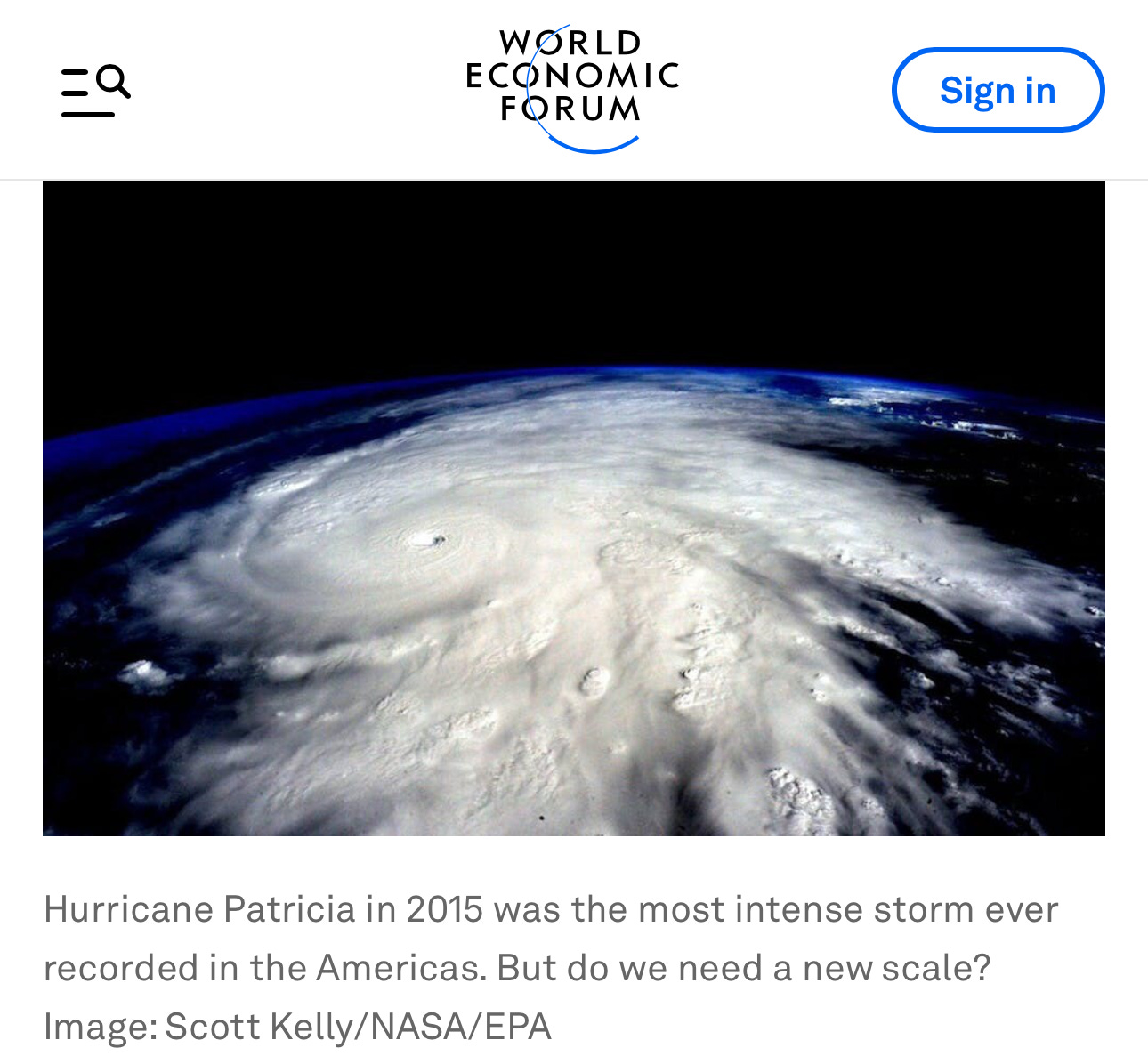
But do cyclone scales need a new category for more severe storms? Only one hurricane in the Western Hemisphere has yet gone past the 309 km/h winds the researchers nominate for a Category 6. And the whole idea of storm scales, including Australia’s own tropical cyclone scale, is that Category 5 storms are those likely to do catastrophic damage. It’s hard to see what a Category 6 could offer.
What is worth exploring is how we can better communicate what specific threats a given storm poses. Is it carrying more water than average, making flooding a bigger risk? Or are unusually intense winds likely to bring more water ashore in storm surges?
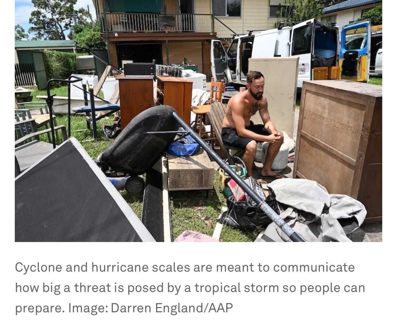
In December, Cyclone Jasper made landfall as a Category 2 storm in northern Queensland. Despite being at the lower end of severity, it dumped huge volumes of water and triggered devastating floods. Residents and farmers criticised the Bureau of Meteorology for not fully conveying the size of the threat. More specific warnings could help.
What are storm scales for?
The world’s tropical cyclone warning centresclassify cyclones using simple intensity scale systems based on maximum wind thresholds. Cyclones, hurricanes and typhoons are different names for the same tropical storms.
There are several different intensity scales in use. The Saffir-Simpson scale is used by the US National Hurricane Center for hurricanes forming in the central and eastern North Pacific and North Atlantic basins. Different scales are used in the Australian, North Indian, Southwest Indian, and western North Pacific basins. Importantly, every scale in use is open-ended, meaning their final category is based on winds greater than a certain threshold – but with no upper limit.
Tropical cyclones can pose many threat to us while at sea, as they approach and make landfall, and even afterwards.
These threats include the intense winds near the eye of the tropical cyclone, the ring of damaging winds which can extend hundreds of kilometres from the eye, wind-driven high seas, storm surge, heavy rainfall and associated flooding and mudslides.
We can’t say one of these is definitively more deadly or damaging than any other threat. Tropical Cyclone Oswald, a 2013 Category 1 storm, led to heavy rainfall and flooding through Queensland and New South Wales, while the 1992 Category 5 Hurricane Andrew caused catastrophic wind damage – but little rain or storm surge damage when it hit Florida.
The highlighted portion below is visible on the website:
To make their case, the researchers also use the maximum possible intensity a tropical cyclone could reach in a given environment. It’s useful to scientists because it can be directly calculated from climate projections and is often used to explore how tropical cyclone intensity might change in the future. But it has an important limitation – tropical cyclones rarely reach their maximum potential intensity.
Source: https://www.weforum.org/agenda/2024/02/hurricanes-becoming-strong-new-category-6-needed/#:~:text=The%20researchers%20suggest%20a%20Category,passed%20that%20threshold%20since%202013.
WHAT WE CAN DO
Stay Updated
Donate Your Time or Money
Organizations like SamaritansPurse.org are helping, as are local churches and fire stations.
If you see a list of charities that you like, please leave a link in the comments, or DM me.
Fasting and Prayer
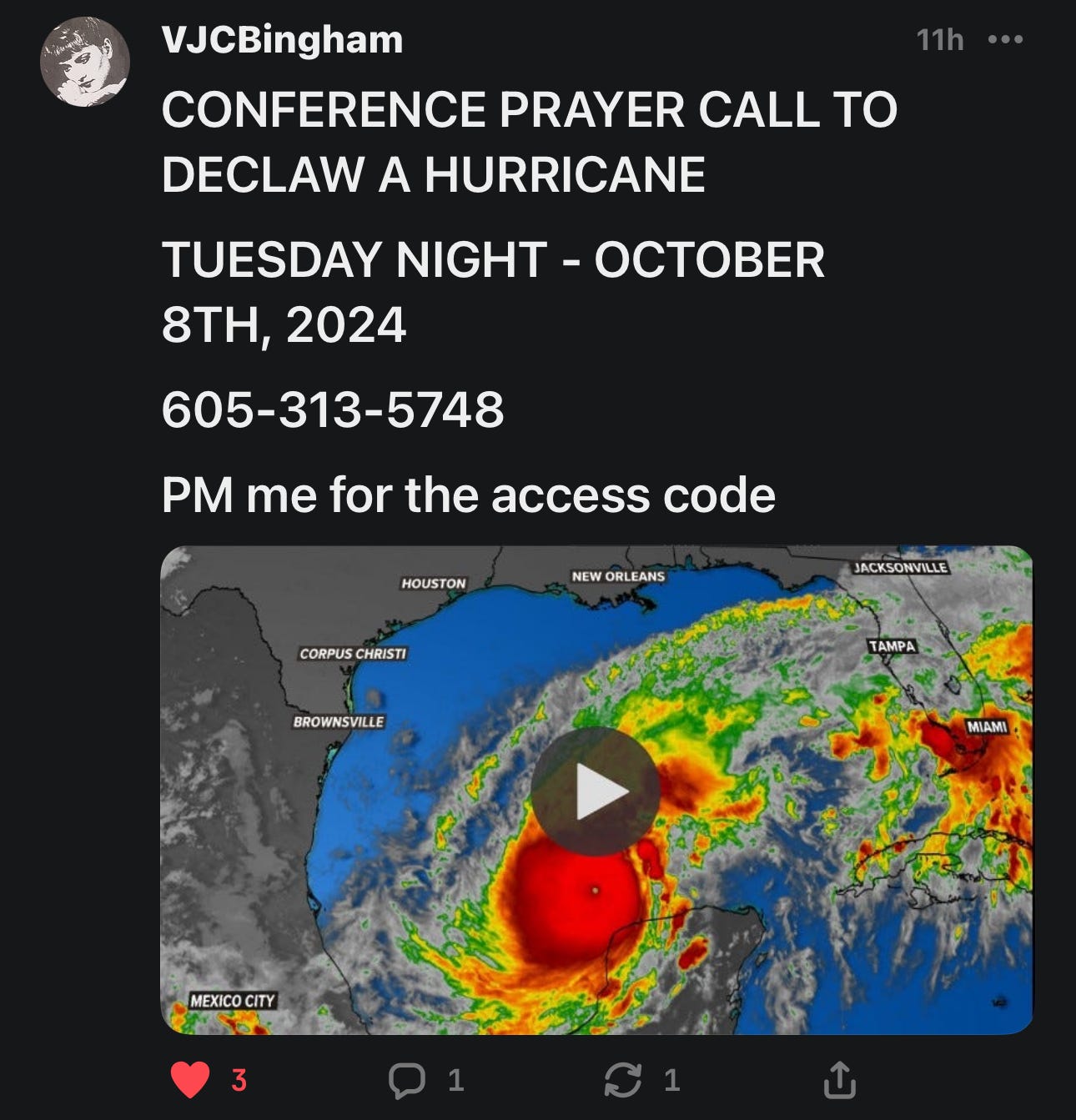
We can pray together that THE STORM DISSIPATES! Where the Power of 2 or 3 come into being, “it shall be done”!
Remain in prayer, fast to diminish Satan’s dominion, speak in tongues to edify God's spirit. Read Victoria’s article here:
Source:
Source:
LET US PRAY
Father God,
We pray and intercede for the storm to pass without any damage. Bless those in its path, give people a wall of protection and support. Let us SPEAK LIFE INTO THE LIVES OF ALL IN FLORIDA, Lord. 🙌
Help us help others, Lord. Help locals to know what to do and where to go. Thank You for giving us all blessings and faith!
In Jesus’ Name,
Amen.




First...shut down all weather modification facilities then maybe...oh but we're still waiting on the "you'll own nothing and like people" to practice what they preach. Set the example ...give up all wealth, luxury mansions, yachts, private jets, 9 course gourmet meals (with meat)
They changed the definition of a vaccine to suit their agenda, changing the categories of hurricanes, regardless of the violation of the laws of physics, is a simple matter to these leftists.